Discover the achievements of the 2014-2020 NPA projects
Seven years of cooperation between people, communities, and organisations across thousands of kilometres made a difference in the Northern Periphery and Arctic regions.
Browse the NPA map of results to discover our stories of cooperation. Pick a dot from the map and scroll down to read about people who have met similar minded colleagues and together found solutions for their shared challenges.
Use the +/- buttons in the top left corner of the map to zoom in/out or click on the regions to display the NPA project stories.
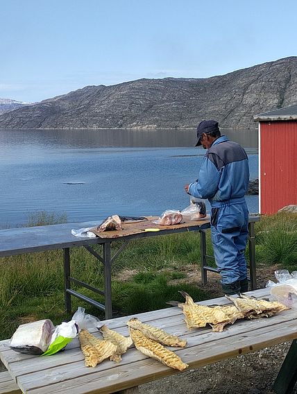
The Greenland Institute of Natural Resources conducted interviews and discussions with the citizens of Sarfannguit about tourism development in the area. The collected local and indigenous knowledge helped the municipality to prepare more accurate plans for the future challenges related with tourism. In Sisimiut, school children collected the stories and memories from their parents and grandparents. Elderly people, professional hunters, and fishermen draw on maps their personal knowledge from hunting trips, of archaeological sites, and areas with abundance of animals. This communal cultural heritage was digitalized and published in 9 online maps.

Hans Harmsen
Greenland National Museum and ArchivesThe Greenland Institute of Natural Resources has prepared online and offline mobile applications through a governmental ArcGIS Online collaboration, which has been of great value to documenting the lived experiences of the Aasivissuit – Nipisat World Heritage property. Hans Harmsen from the Greenland National Museum is currently integrating this app data into a large ESRI Story Map archive for the whole of Aasivissuit – Nipisat in collaboration with colleagues from the Activating Arctic Heritage project (2019-2022).


